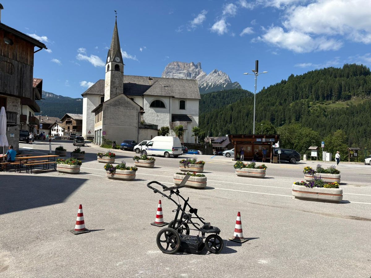
Ground-penetrating radar (GPR) is a non-invasive investigation technique that consists in surveying the ground using radar waves.
Radar waves are characterised by high frequencies, which means they can deliver very high resolutions, although the depth of investigation is limited. Application fields range from geology to archaeology to other uses (for example identifying buried cables or tanks, locating foundations).
The radar system consists of two antennas: one transmitter and one receiver. By passing over the surface to be investigated, the instrument emits radar waves that travel through the ground. When the wavefront encounters a body with characteristics different from the previous one, it is reflected back to the surface, where it is captured by the receiving antenna. This produces a series of distance/depth profiles, in which all the various reflection events are visualised.
During processing, the reflection events are discretised and analysed in order to identify the type and depth of the bodies present in the subsurface.
Metodologia
Ground-penetrating radar (GPR) investigations are carried out in compliance with ASTM D6432 and EuroGPR Association guidelines. Acquisition is performed using variable-frequency antennas (from 100 MHz to 1600 MHz), selected based on the investigation depth and the resolution required. Profiles are acquired along regular grids or linear transects, with georeferencing via GPS.
Radargram processing involves applying filters (gain, migration, deconvolution) using dedicated software to improve the signal-to-noise ratio and the readability of reflections. Data interpretation enables the detection of buried utilities, voids, buried structures and lithological variations, with graphical output of results in sections and planimetric maps.
Gallery

Request a Quote
Got a project that requires geognostic investigations or geotechnical consulting? Contact us for a tailored, no-obligation quote.
Contact Us Now